Category Archives: About

Pingo SubTerranean Aquifer Reconnaissance & Reconstruction (Pingo STARR)

Pingo SubTerranean Aquifer Reconnaissance & Reconstruction (Pingo STARR) is a NASA- funded research & analysis program grant supported through the innovative Planetary Science and Technology for Analog Research (PSTAR) program. This program allows planetary scientists to conduct research on Earth that is forward thinking and explores our own planet in ways that address key planetary science questions, develop and/or use compelling technologies, and assess operations scenarios to inspire future planetary missions. Through these grants, our team has also been able to advance Earth science as well as synergize across NASA’s investments, and build towards a systems level understanding of planets as a whole. Our work has primarily focused on the polar regions, which have lessons important for environments across Mars, Europa and other moons, and even the asteroid belt.

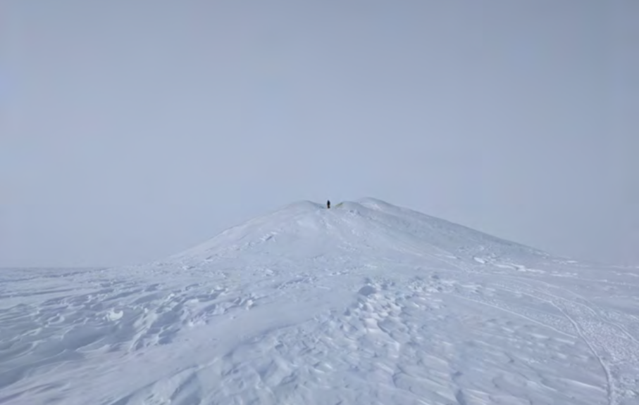
Pingo STARR is a NASA-funded program exploring ice-cored hills in the Arctic Tundra called pingos. These hills form from freezing ground water, forming a massive ice mound at the center and uplifting the permafrost. Not only are they found on Earth, but there is strong evidence that they also form on Mars and on the largest body in the asteroid belt and innermost Dwarf Planet, Ceres. Similar physical processes may also be happening on the icy satellites. Partially because of their remote locations, little is really known about pingos even on Earth. Pingo STARR aims to change that. We’re working with a host of cutting-edge geophysical techniques to perform the most in-depth analysis of these features ever attempted here on Earth in an effort to also understand how they may be forming on other planets. What’s more–we’re assessing the kinds of techniques that both robotic missions and one day Astronauts could use to detect and map water resources that could be vital for exploring Mars in particular.
Pingo STARR’s key objectives are to:

  1. Use geophysical techniques such as ground penetrating radar (GPR), capacitively- coupled resistivity sounding (CCR), and transient electromagnetics (TEM) to determine the hydrological and geological structure of large pingos in the North American Arctic.
  2. Assemble the largest comparable and complementary geophysical dataset of pingos collected to date to enable previously impossible analyses into periglacial hydrology.
  3. Evaluate the advantages and disadvantages of various geophysical methods for discovering and investigating ground ice phenomena in a planetary analog environment.
  4. Test the feasibility of deploying similar geophysical instrumentation on the surfaces of planets, moon, and asteroids in the future by both human and robotic explorers.

The Pingo STARR Team is:

  • PI: Dr. Britney Schmidt, Georgia Tech
  • Science PI: Dr. Kynan Hughson, Georgia Tech
  • CoIs: Dr. Matthew Siegfried, Dr. Andrei Swidinsky, Dr. John Bradford, CO School of Mines, Dr. Hanna Sizemore, Planetary Science Institute
  • Field Manager: Dr. Enrica Quartini, Georgia Tech
  • Field Team 2021: Dr. Roger Michaelides, CO School of Mines, Dr. Andrew Mullen, Georgia Tech

5 reasons Icefin should be your new favorite robot

Icefin is an underwater oceanographer robot with projects funded by the likes of NASA and the National Science Foundation, and helps scientists explore ice-covered oceans. Icefin may be the inspiration for future trips to Jupiter’s icy moon Europa, which is a key target on NASA’s list for ocean world exploration that could potentially harbor life.

Right now, Icefin vehicles are being used to study things like glaciers and ice streams in Antarctica. Whether mapping the underside of glaciers on Earth, or paving the way for ocean exploration on other worlds, Icefin is doing some seriously ground-breaking (or should we say, ice-breaking) work!

A computer rendition of the yellow bodied Icefin Robot

Here’s why Icefin should be your new favorite robot:

  1. Icefin has gone where no robot (or person) had gone before. “This is one small step for Icefin robot, one giant leap for robotkind”. During the 2019-2020 field season in Antarctica, Icefin was the first robot to deploy through a borehole drilled through a half mile of glacial ice, into the cold ocean beneath, and travel miles beneath the ice to map, measure, and study the underside of the critical Thwaites Glacier. Another Icefin vehicle, during the same season but in a different location, entered the ocean below the ice of Kamb Ice Stream, part of the Ross Ice Shelf, and explored that environment like never before. By going to places we had never been on Earth, Icefin robot will help lead us to places we’ve only dreamed of.
  1. Icefin will help scientists who study climate change, oceans, and glaciers, to more accurately predict our future. You care about climate change. That’s one of the reasons why we hope you’ll care about Icefin like we do. The robot oceanographer is helping scientists get a more detailed understanding of glaciers (like Thwaites, also known as the Doomsday Glacier because of its size and potential impact if/when it collapses). By collecting first-of-its-kind data and images of the underside of glaciers, both stable and eroding ones, we can paint a clearer picture of how and why they change, how fast it’s happening, and what impact we might see as these glaciers change.
  1. Icefin has some killer media. You know you love those aesthetic photo posts, whether it’s gorgeous vacation #goals on Facebook, or that astronomy pic of the day Instagram feed. Icefin will add an underwater, otherworldly, cool (see what we did there) aesthetic to your social feed. Want to see content like this, or this, or this, or this? You know what to do, follow Icefin (on social media) to where no robot oceanographer has gone before!
An image of Icefin, your new facorite robot, under a sheet of blue and green ice in water that appears light and deep blue. Icefin is a yellow, pencil-shaped robot.

More @icefinrobot on Instagram

Boop! A GIF image of a seal touhcing its nose to equipment after poking its head up from a borehole in the ice in Antarctice.

Via @icefinrobot on Twitter

Scott tent camp at Grounding Zone camp, Thwaites Glacier.

Via our blog Life Under the Ice

  1. Icefin is laying the groundwork with exploration on Earth, so future robots can explore other worlds. Speaking of “where no robot has gone before”, by exploring icy oceans in Antarctica, Icefin is paving the way for future robotic missions to other worlds with ice-covered oceans in our solar system, like Jupiter’s moon Europa. The moon is believed to have a vast liquid ocean covered in a layer of ice, which could harbor life, and robots like Icefin (and next generation vehicles) will be the ones to explore those alien landscapes, which may in fact look a lot like our own polar waters.
  1. Icefin is backed by a team of awesome people. We like to work hard and do science, engineering, and programming… and we like to have fun. We’re down-to-Earth people (unfortunately not down-to-Europa, yet!), and we promise you won’t regret making Icefin your favorite robot. Want to learn more? Check out this awesome short film NOVA Science made about us!

And there you have it! Now that Icefin is your new favorite robot, go follow us on Facebook, Twitter, Instagram, YouTube, and our blog, and check us out online

About the International Thwaites Glacier Collaboration

We’re excited to announce that as part of the MELT team and the International Thwaites Glacier Collaboration (ITGC) between the U.S.’s National Science Foundation (NSF) and the U.K.’s Natural Environment Research Council (NERC), we’ve been funded to send Icefin to look at the underside of the Thwaites glacier in the 2019 field season! This is an extremely important effort to look at one of the fastest changing regions in Antarctica and will be critical to informing our understanding of global climate systems- we’re excited to be part of such a large and capable international team undertaking this work.

Read on and see the official press releases from NSFNERC, and Georgia Tech for more details, and there’s some great videos as well on our Facebook page as well- check them out!

The ITGC’s official program. (Credit: Ben Gilliland, NERC)

What is Thwaites?

Thwaites glacier is on the left side of this map, midway between the Ross Ice Shelf (bottom large blue/purple section) and the Peninsula (top-left pointy bit). The plot shows the velocity of the ice flows across Antarctica – notice how red Thwaites is. McMurdo, for comparison (though not shown) is off the Ross Ice Shelf, midway between Byrd and David glaciers. (Credit: E. Rignot, et al. “Ice Flow of the Antarctic Ice Sheet,” Science, Vol. 333, No. 6048, p.1427-1430, 2011.)

Thwaites is a massive glacier on the West Antarctic ice sheet. It is approximately the size of Florida and accounts for nearly 4% of global sea level rise, a contribution that has doubled since the 1990s. It also happens to be more than 1000 miles (1600 km) from the nearest permanent station, so getting there is extremely difficult, even by Antarctic standards. Due to these difficulties, we know very little about this enormous ice mass, which is a significant issue for global climate studies as a collapse could significantly raise global sea levels.

What is MELT?

MELT, “Melting at Thwaites grounding zone and its control on sea level“, is an interdisciplinary collaborative project between five universities and the British Antarctic Survey (BAS) that aims to use autonomous sensors, vehicles (including Icefin), radar, and moorings to monitor the Thwaites ice shelf and grounding line. The goal is to better understand how the ice is flowing, ice-ocean interface dynamics, and the ocean bathymetry (i.e. the sea floor) in this region, with a particular focus on melting rates and dynamics. Hot water drills will be used to make small holes in the shelf so Icefin can access the ocean and grounding zone underneath, as well as for placement of the ocean moorings and autonomous sensors that will monitor year-round for the duration of the project.

This data will then be used to augment state-of-the-art ocean and ice sheet models for better understanding of how this highly dynamic and sensitive system interacts with global climate cycles so we can better estimate the state of the glacial basin over the coming centuries. For more information, check out the project page here.

The project is lead by Dr. Keith Nicholls, an oceanographer with the British Antarctic Survey (BAS), and Dr. David Holland, an applied mathematician (with a background in fluid dynamics) at New York University, with co-leads Dr. Eric Rignot from the University of California at Irving, Dr. John Paden with George Mason University, Dr. Sridhar Anandakrishnan out of Pennsylvania State University, and our own Dr. Britney Schmidt.

What is the ITGC?

A (very busy) infographic of the eight projects being funded through the ITGC. MELT is in the middle, with Icefin serving as one of the AUVs. (Credit: ITGC)

The International Thwaites Glacier Collaboration (ITGC) is a $25 million international research collaboration between the U.S. and U.K. through their two major Antarctica research organizations, the National Science Foundation (NSF) and the National Environmental Research Council (NERC), respectively, to send scientists to the Thwaites glacier region to collect data on how the glacier is current doing, when a collapse might occur, and how that would affect global sea levels and global climate. There are eight separate projects being funded with over 100 scientists from seven different countries, so it’s a massive collaborative effort and the largest between the U.S. and the U.K. in Antarctica in more than 70 years. Teams will deploy submersibles, radars, planes, drills, remote sensing stations, seismometers, ships, ocean gliders, and all kinds of other advanced technology to do this research over the coming five years.

A  graphic of how we understand a stable glacier goes into retreat, with a potential eventual collapse. (Credit: Ben Gilliland, NERC)
A graphic of how we understand a stable glacier goes into retreat, with a potential eventual collapse. (Credit: Ben Gilliland, NERC)

If you’d like to know more, here are a few other links:

The official press release from the British Antarctic Survey (BAS)

MELT award abstract (NSF)

A very cool GIF of the Thwaites glacier calving icebergs, courtesy of Dr. Noel Gourmelen (via CPOM News on Twitter)

You can also hunt down more information on Twitter with the hashtag #ThwaitesGlacier and the handle @ThwaitesGlacier.

About “Ross Ice Shelf Programme (Antarctica New Zealand)”

The Ross Ice Shelf Programme (RISP) is funded through Antarctica New Zealand (ANZ), New Zealand’s government agency in charge of Antarctic work and research, and the New Zealand Antarctic Research Institute (NZARI), an NZ-based Antarctic research trust. The goal of the program is broadly to investigate the Ross Ice Shelf and its many dimensions, including the effects of tides on the shelf, the stability of the shelf over geologic time through the use of a hot-water drill, and the ice shelf’s stability through GPS and radar.

Icefin will be used as an ROV/AUV to assist in these goals.

More information can be found on the ANZ website.