When I flew to the Ice in ’17, we flew to 3791 km in the classic style: a military C-17, flown by the New York Air National Guard EDIT: US Air Force (The NY-ANG flies the LC-130s), loaded to the gills with people and gear from Christchurch (CHC) in about five hours. These are the early-season workhorses of the CHC-MCM (McMurdo) flight, shuttling over the Southern Ocean multiple times a week for three months. The best part about the flight was when the pilots let people come up in twos to the cockpit and look out over the ice. It was, in a word, incredible, especially since the only other windows were a few small portholes.
It was tragic when, a few days later, I went looking in my phone for them photos only to discover they were complete missing, never to be found.
This time, the trip was more complicated. With two projects (the familiar B-041 from the past two years, and a new C-444 for the Thwaites project) with two funding sources (NASA and NSF, respectively), and a wedding (congrats to Matt and Amy!), we ended up with a number of different flights into Christchurch. Some of us got a few hours in Melbourne to kill, in which we sampled the fabulous coffee culture and the pretty great street art.


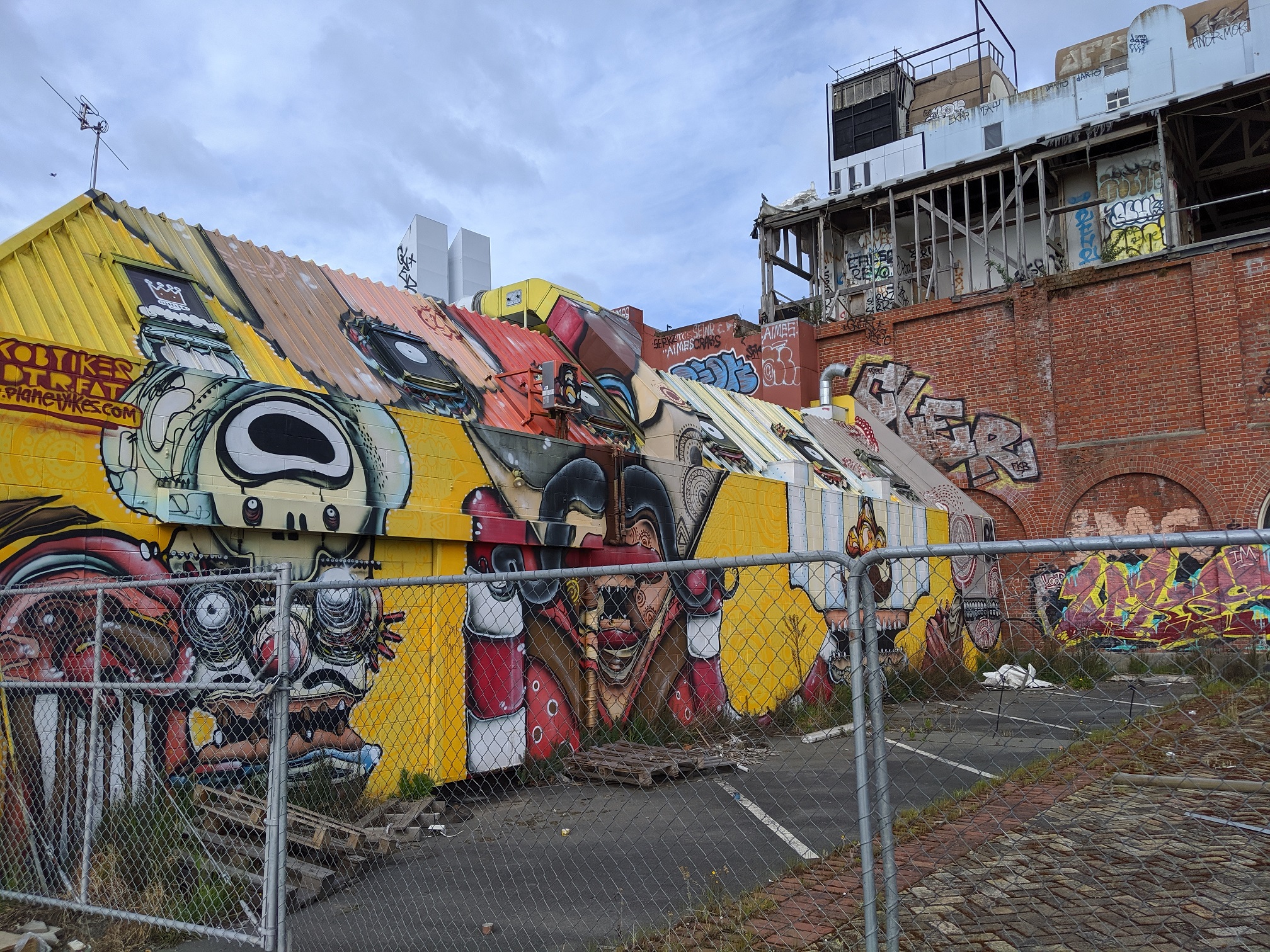
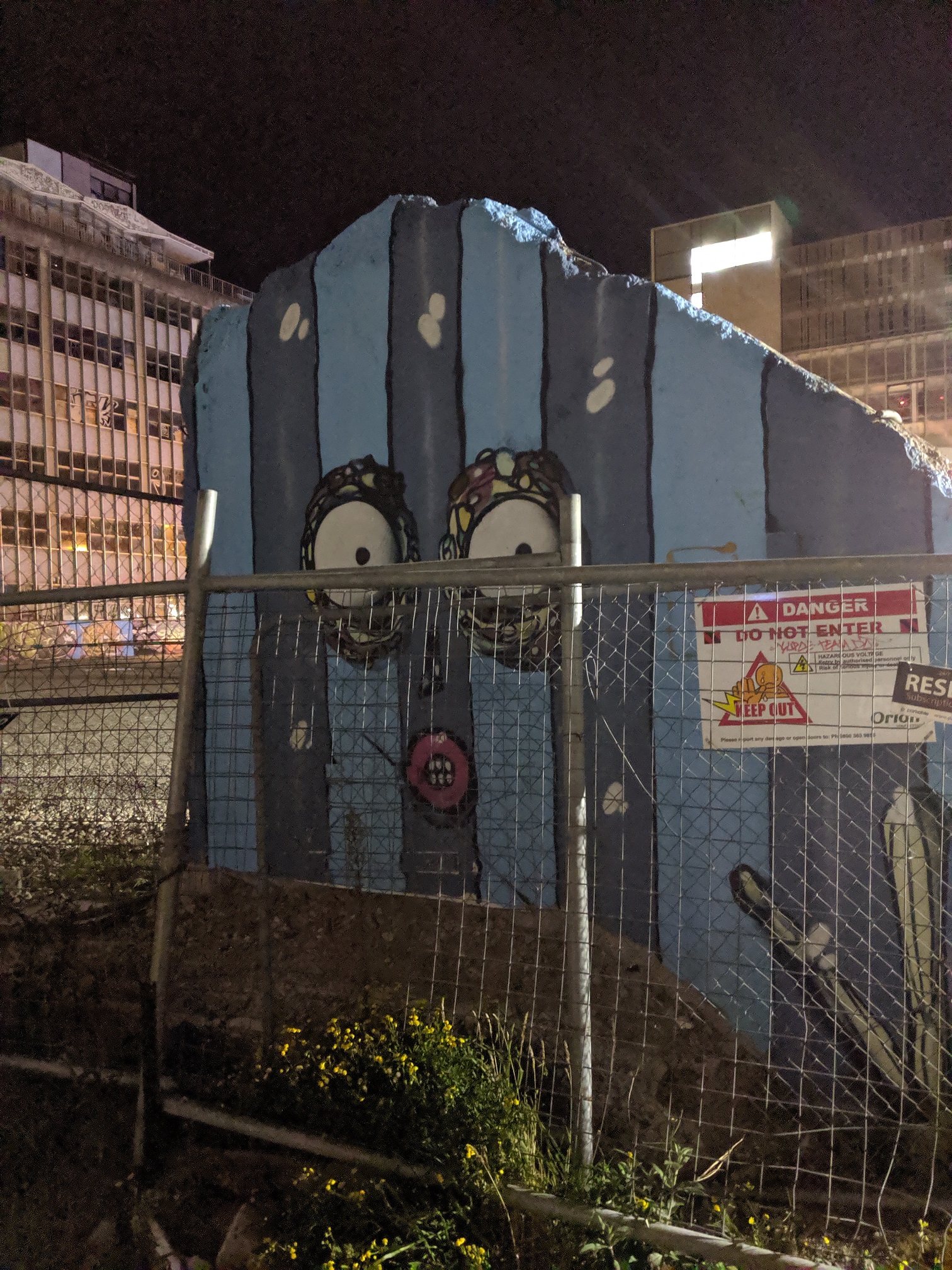
Turns out, CHC also has some pretty mean street art.
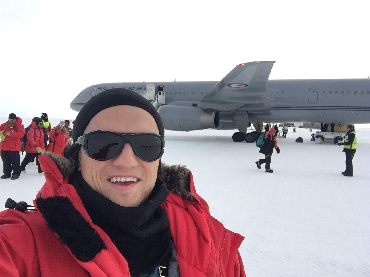
Enrica (our new field manager), myself, and Andy were designated as the “Scouts”, acting as the advance team to settle in, setup labs, shake hands, and hunt down all our stuff, so we took the first flight, on the 9th.
And this flight, it turns out, was the once-a-season Boeing 757 trip.
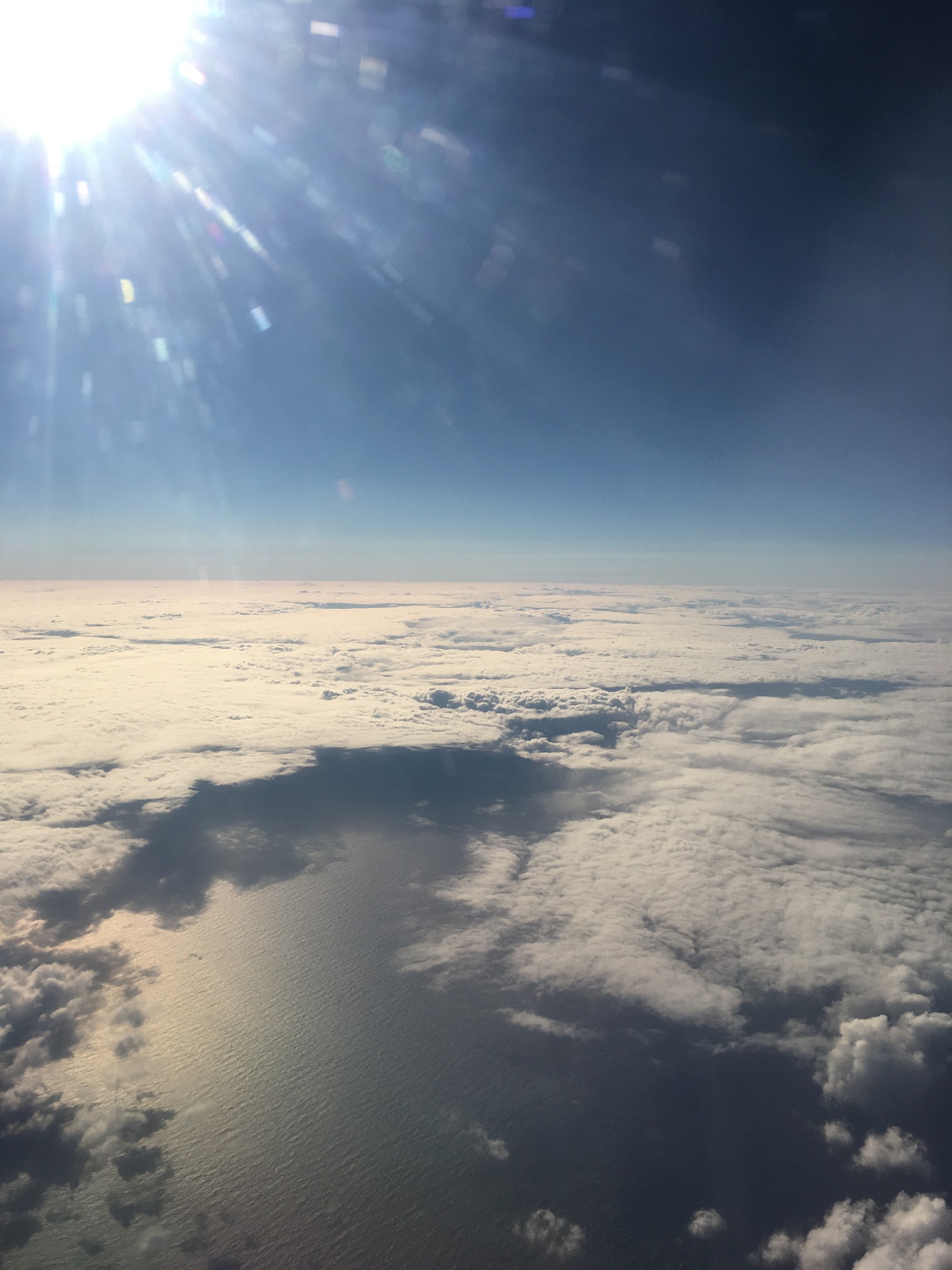
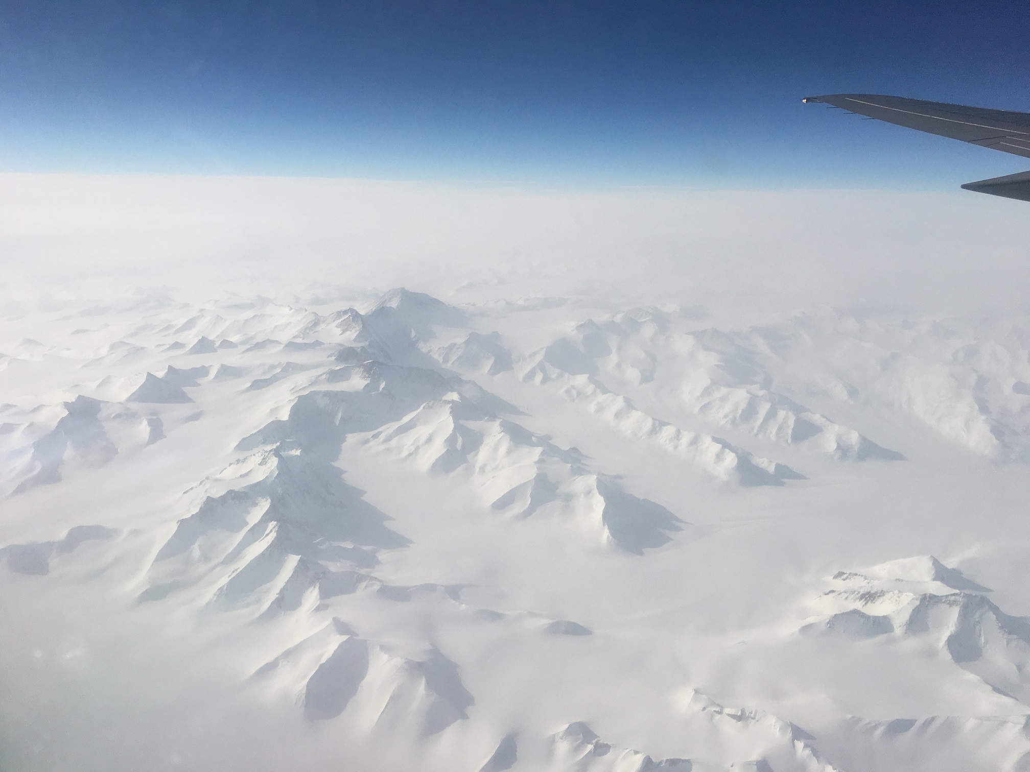
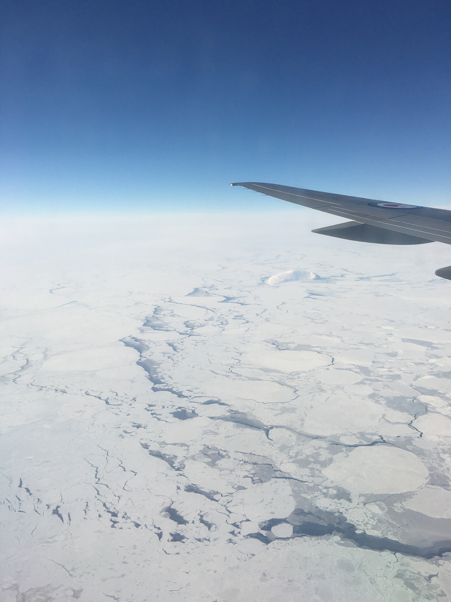
Run by the Royal New Zealand Air Force, the flight is on a standard passenger jet, complete with beverage carts, real seats, and (*gasp*) windows! It’s not often you get an opportunity to watch your approach into MCM, coming in over the edge of the East Antarctic ice sheet, looking out over the ice floes and mountains, the Dry Valleys, and the finally seeing Mt. Erebus loom in the distance, flying by Arrival Heights and right off the station itself before looping wide and landing on the ice. It made the C-17 seem pedestrian, and was, in a word, incredible.
It was tragic when, a few days later, I went looking in my phone for them photos only to discover they were complete missing, never to be found.
Yes, for the second time, none of my photos came out. I got a window seat and everything! I’m still bitter, ten days later.
Ah well. I’m here, aren’t I? Safe and sound.

(Above gallery photos were all taken by Andy Mullen.)
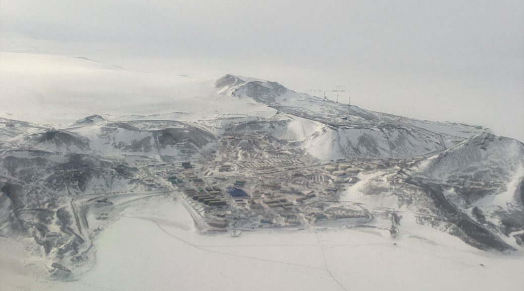
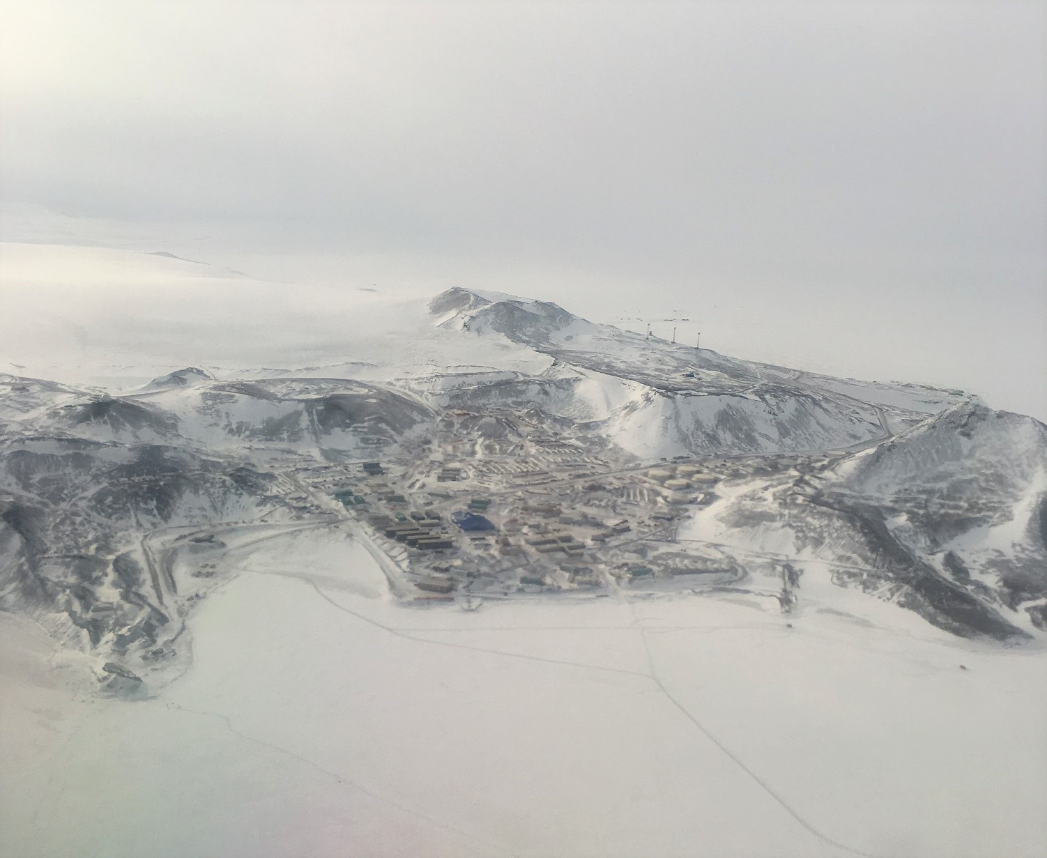
In the last photo above, you can see:
- Hut Point (peninsula on the left),
- where the Ice Pier will go for the boat dock in February (bay of ice on the left)
- our dorms (four container-shaped buildings to the right of the bay of ice that are “stacked” like stairs),
- the galley (blue building the the middle),
- Crary labs (the weirdly-shaped building slightly forward and right of the blue building) (our lab is in the lowest and right-most part of Crary – hi!),
- Observation Hill [Ob Hill] (peak on the right),
- Scott base (the NZ base, right above/behind Ob Hill on the edge of the island),
- the windmills (towards the back on the right, look like three sticks)
- Happy Camper area (beyond the windmills, where we do our overnight trainings with USAP)
- Mt. Erebus (not shown, but off to the left)
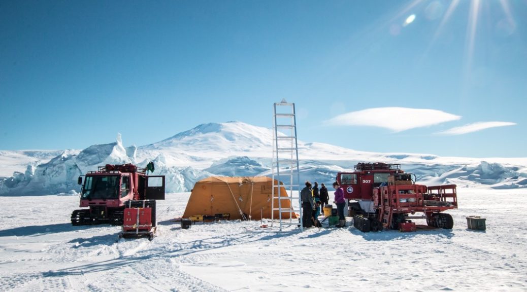
It’s now been nearly two weeks on Ice for us, and much has been accomplished. There have been some shipping glitches, but these are getting resolved as we move into field mode here. The Thwaites vehicle (creatively named ICE03) was checked through the CHC from ATL on Delta (an advantage of Icefin is that it’s commercially fly-able anywhere in the world), and then flew on our Ice flight, so we got that up and running again in a few days upon arrival with only minor hiccups. Around this bring-up, we’ve been going through the requisite trainings and briefings that are standard upon arrival here, waiting for the go-ahead to get out on the sea ice.
Speaking of sea ice, it’s a very dynamic year in the McMurdo Sound. There were a few big winter storms (apparently it was an interesting winter) that blew out a lot of the young sea ice as it was forming, and there was less snow cover to protect the young ice. Due to these and other factors, the sea ice is quite thin this year – up until this week, it was only averaging around 110 cm (this past week was cold and clear, which allowed it to thicken to 130 cm). While it is thicker than a lot of Arctic sea ice and can hold up thousands of pounds without difficulty, it is still much thinner than usual – typically, the ice is 3-4 meters thick at this time! This makes it easier for us to deploy, since we have to drill through less, but it also means the sea ice season will be shorter, which makes the shipping concerns even more concerning.
To further increase the pressure, there were two delays to the flight schedule this season already, once in Winfly (the first post-winter passenger flight, taken in mid-August) due to weather, and then once this past week. The more recent one was especially unfortunate for us – the C-17’s windshield cracked during approach, causing it to boomerang (i.e. return to CHC) with both our software engineer, Anthony, and our other vehicle, ICE02, on board. These delays have also cascaded into short-staffing early on in many of the workcenters on base, meaning that, coupled with the unusual sea ice, the routes our to our site just got flagged on Monday, and our fishhut won’t get dragged on until mid-week.
But these are the sort of things that happen during an Antarctic field season. We didn’t expect these exact things to trouble us, but you can safely bet that very little will go according to plan. And that’s okay. We’re adaptable and resourceful, looking for ways to become more streamlined and efficient in the face of difficulties. This is was makes a good field team, and it’s what makes for a good season. Adversity isn’t something to fear; it should be embraced and dealt with summarily.
Though I won’t lie; it’s been an interesting start to what’s sure to a busy and challenging field season.