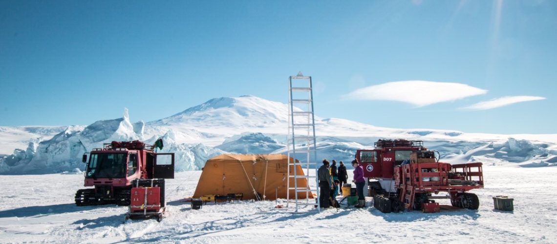
The 2019 season, the third of the RISEUP project with Icefin, is upon us!
Yes, we know it’s the summer, but we’ve been preparing for this for the past two years, and with the third edition (nearly identical to the second edition) of the electronics finally complete, now begins the testing portion of the year.
For those who may be new (welcome!) or those who have forgotten, here’s a quick recap of what the next seven months entail:
May: On campus in the acoustic tank, system checkout.
June: Off campus local confined water, system and instrument testing.
July: Off campus local confined water, more system and instrument testing.
August: Open water dives in San Diego with Scripps Institution of Oceanography for the OAST kick-off!
September: Packing for the field.
October: Getting to the field, field orientation, local McMurdo sea-ice system checkout.
November: McMurdo local sea-ice deployments .
December: Dual deep field deployments, one to the Kamb Ice Stream on the Ross Ice Shelf with NASA and Antarctic New Zealand, and one with the NSF/NERC International Thwaites Glacier Collaboration.
TWO field deployments?? That’s right!

The first is the final leg of the Aotearoa New Zealand Ross Ice Shelf Programme (ANZ RISP), the project that RISEUP has been involved with from the beginning that does the Ross Ice Shelf drilling. We’ll be taking half the team and a vehicle to the edge of the shelf to a region called the Kamb Ice Stream (Ice Stream C in the image above). Ice streams are essentially rivers of ice that flow off the ice sheets (like the West Antarctic Ice Sheet) and form ice shelves (like the Ross Ice Shelf). Our goal here is to find and map the grounding line of the Ross Ice Shelf to better characterize it’s flow, and advance our models of the environmental dynamics.

The second field season is the aforementioned ITGC funded by the U.S.’s National Science Foundation (NSF) and the U.K.’s National Environment Research Council (NERC). We’re part of the MELT (“Melting at Thwaites Grounding Zone and its Control on Sea Level”) project, during which we will be investigating how warmer waters are affecting the grounding zone dynamics underneath the rapidly melting glacier, and whether it’s at risk of “marine ice sheet instability” (which in non-jargon terms is the concept of an ice sheet or shelf rapidly slipping off the continent and into the ocean). You can read all about it here.
So all in all, a very busy couple of months coming up, which will hopefully result in some incredible science!
In the meantime, we’ve just begun testing of the new version of the vehicle in the water. We’ll start with some simple checkout dives, just to confirm basic vehicle operations, and then build up to more integration testing, looking at electrical noise, thruster profiles – in essence, a lot of engineering tests to confirm the proper operation of the platform so that when we need to collect science data in a very remote and hostile region, we can comfortably deploy and operate with only minimal concern of platform failure.


